Superbloom: Sojourn: Days 17-30, March 30

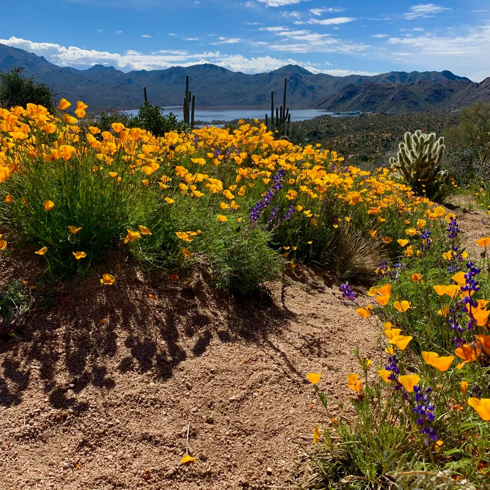
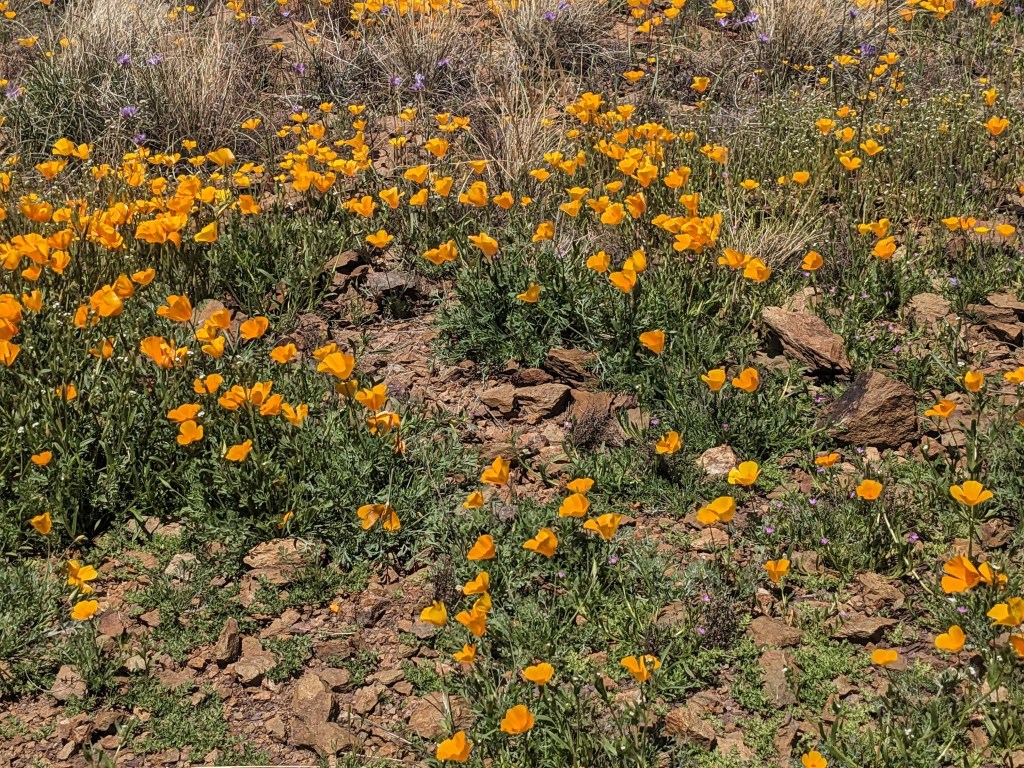
Here we are in the Tonto Basin of Arizona, and Spring has FINALLY arrived, in the form of a superbloom of Poppies. First one in years, apparently, but entire mountainsides have erupted in brilliant orange. My photos can’t do them justice.

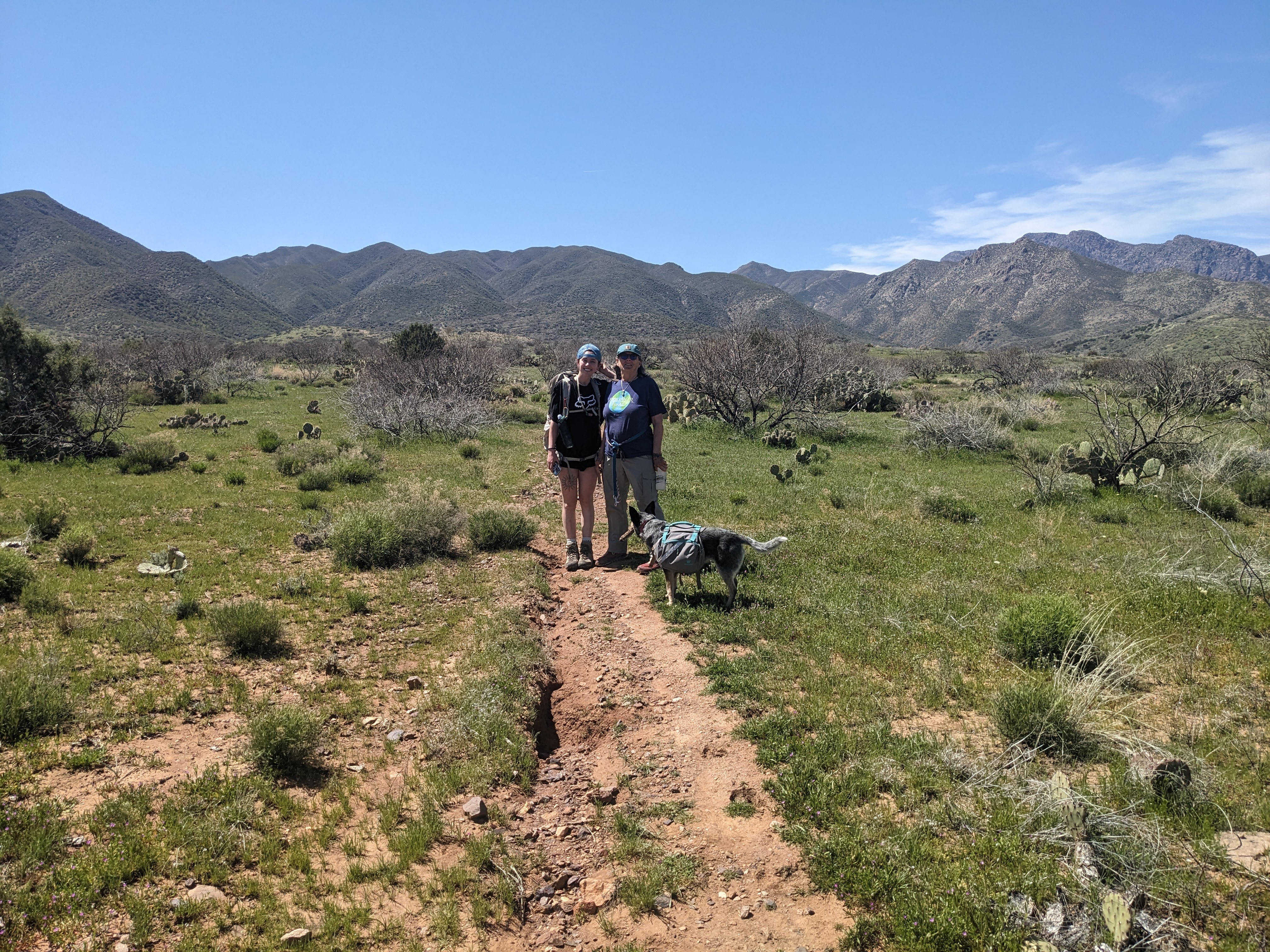
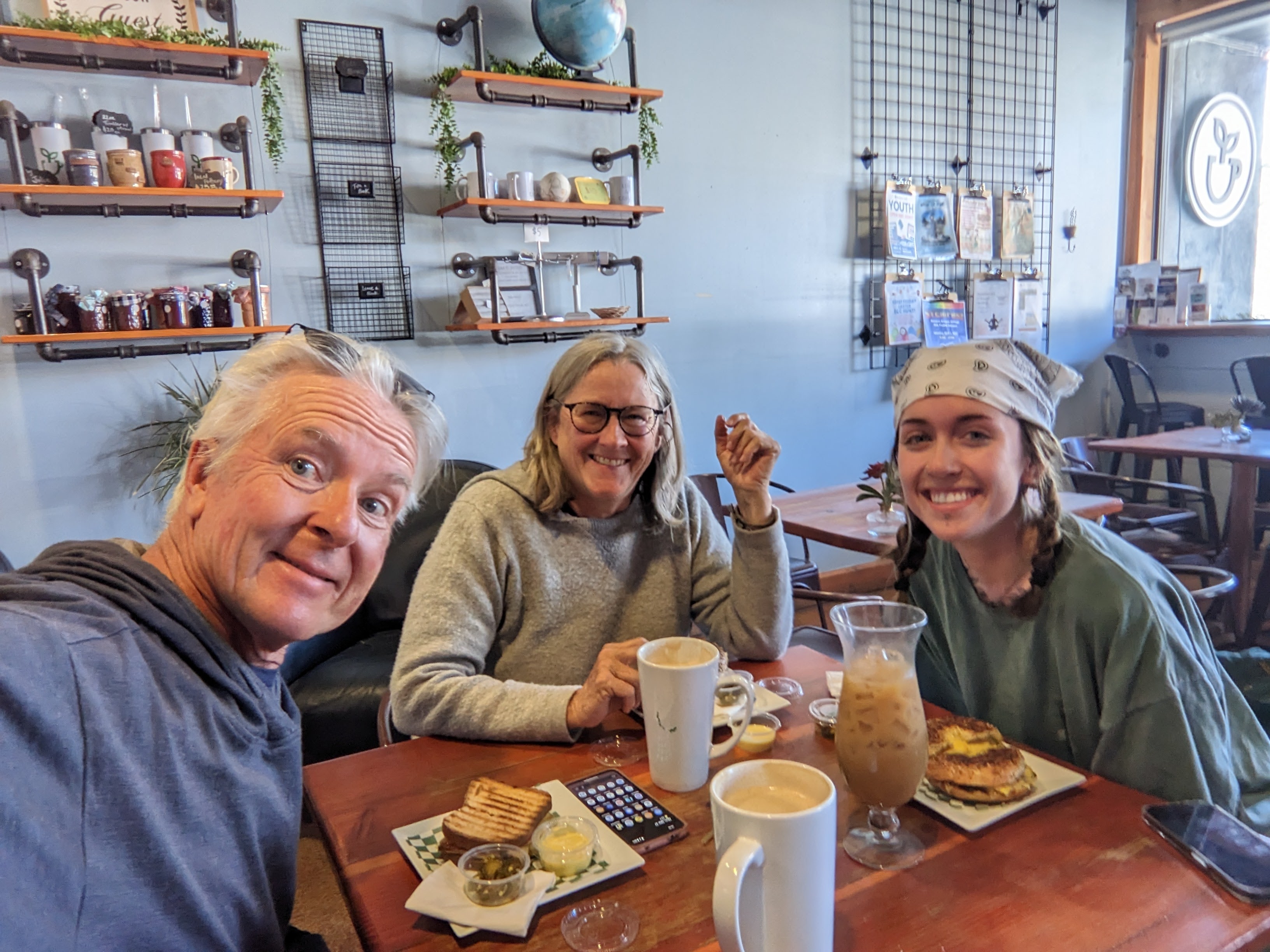
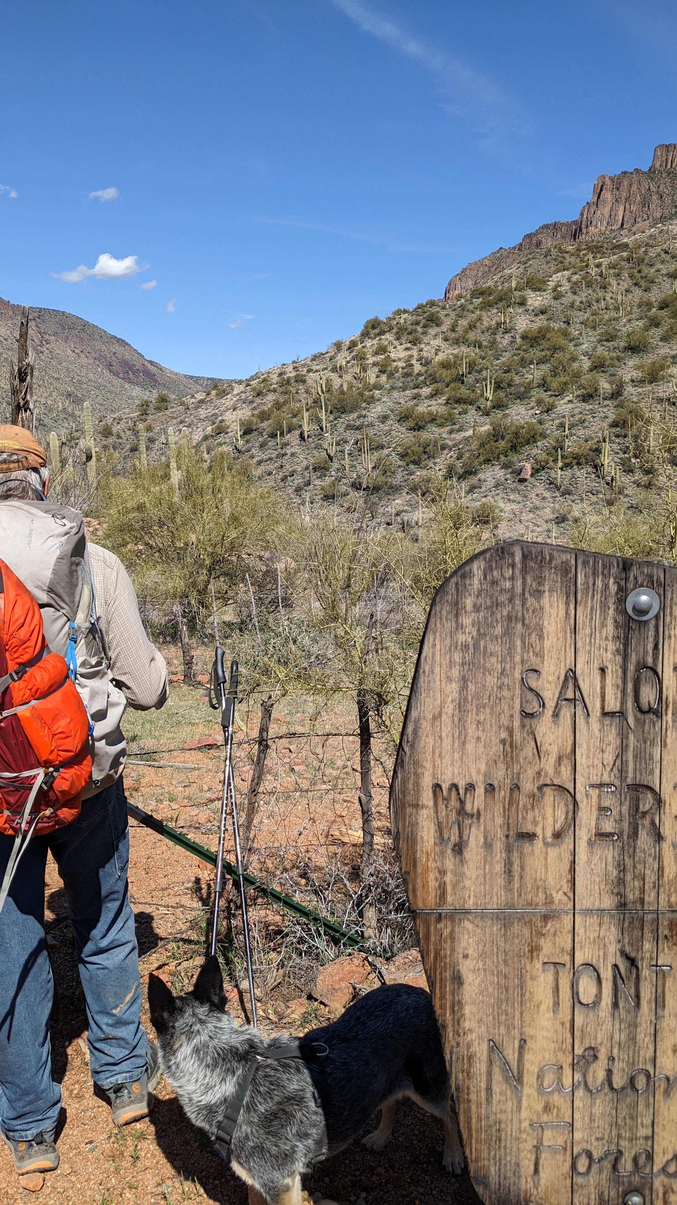
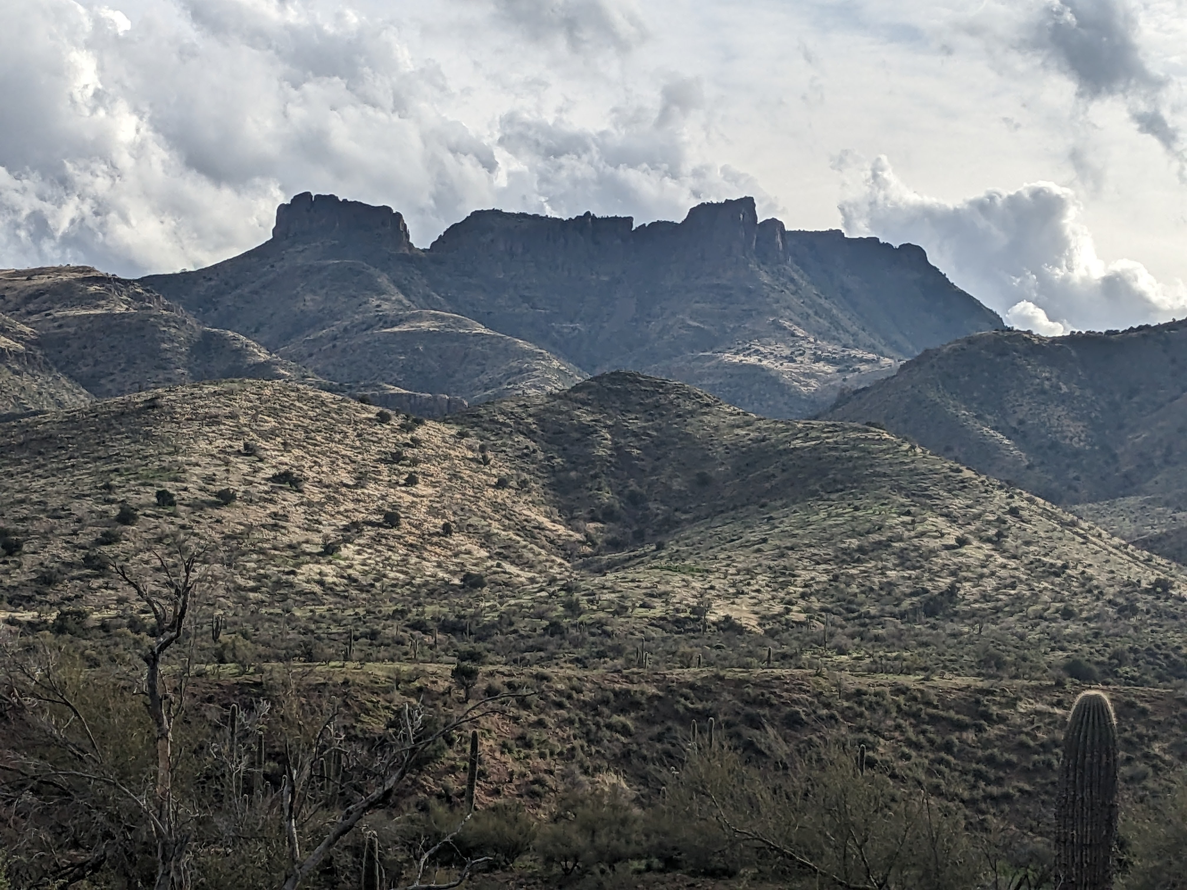
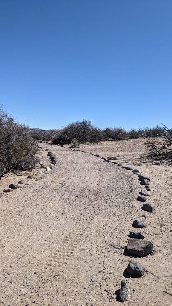
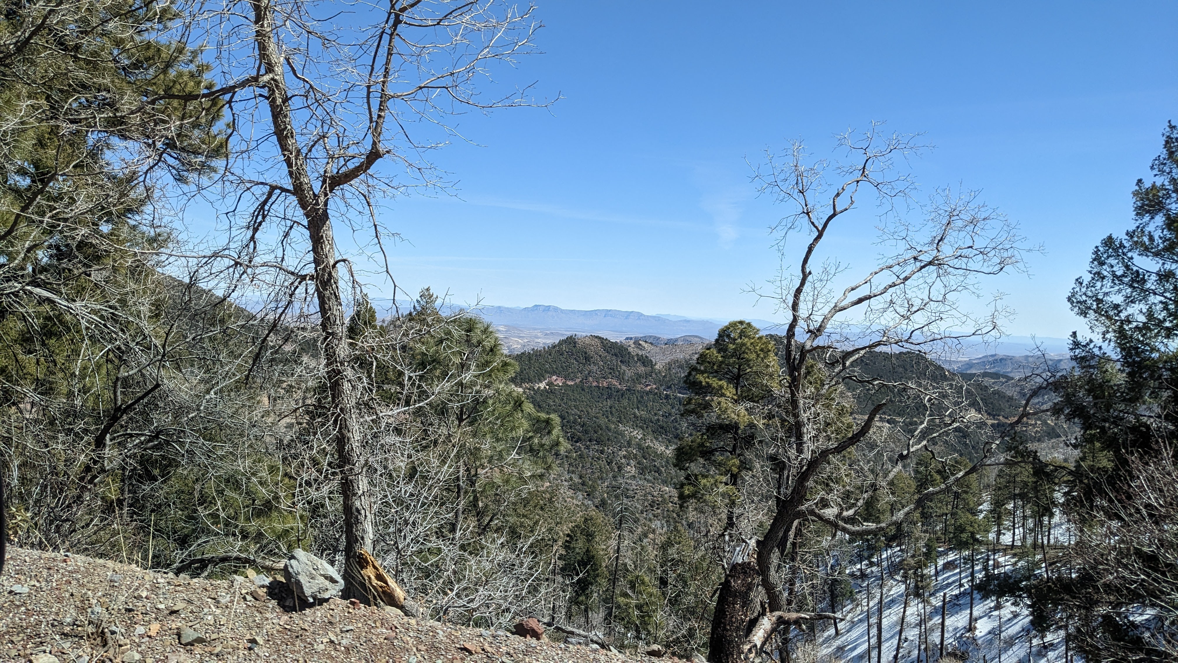
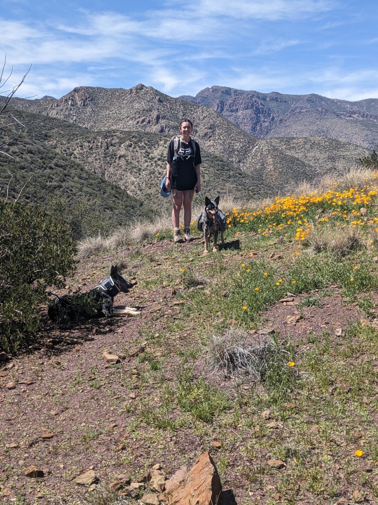
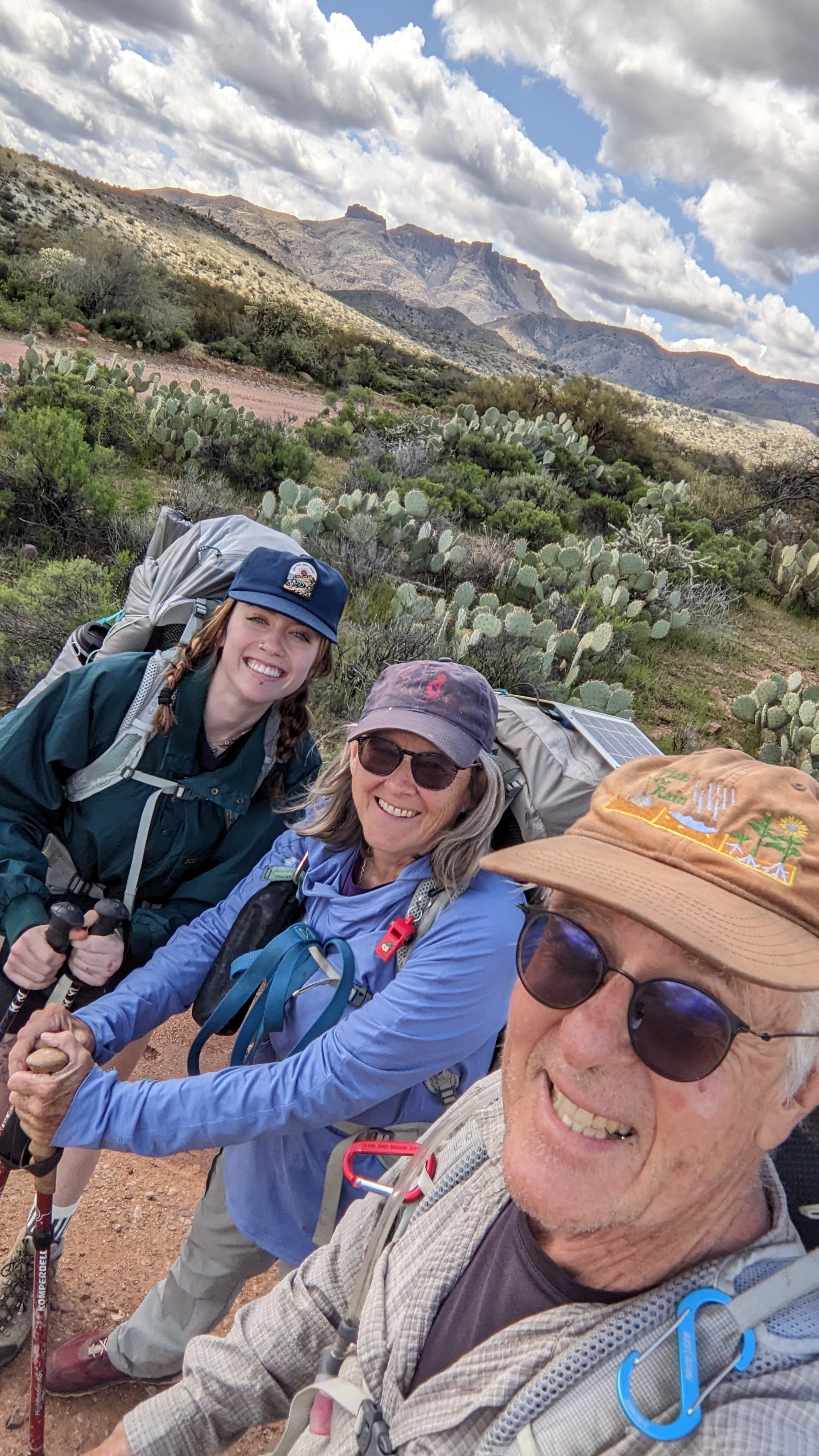
We’ve spent these past 3+ weeks enjoying warming weather, blue skies (mostly) and wonderful hikes. We’ve been walking miles most days, getting into better shape, up and down the Superstition Mountains, Salome Wilderness, the Sierra Ancha Wilderness, the Four Peaks Wilderness, and the Mazatzal Wilderness. L, our granddaughter, joined us for a week, which was the highpoint of our trip so far. We geared up and backpacked the Arizona Trail for a few days into the Superstition Wilderness, which was stunning and very challenging: up a 1000 feet, down a 1000 feet, repeat. With little water, lots of prickly cacti, and hardly any flat spots to camp. Beautiful, though! We will definitely return for more.

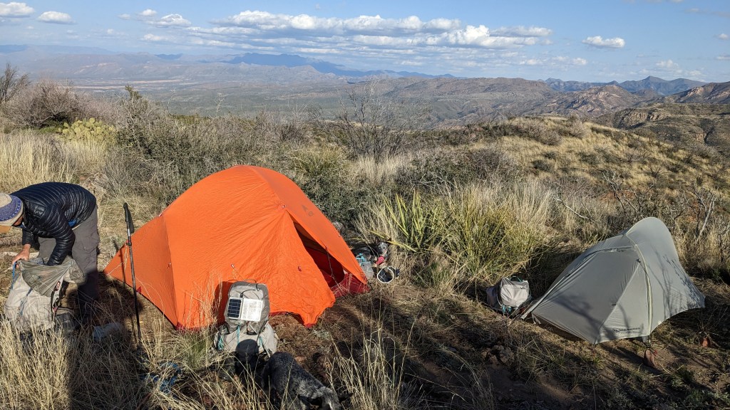
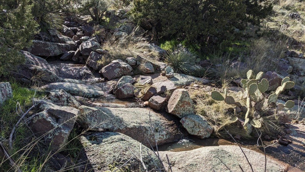
The first night we dry-camped on a windy ridge, in a tiny spot covered with old cow poo, but with an amazing view. The second night, our campsite was at a beautiful no-name creek with lots of water and a big flat spot. We did Yoga there.

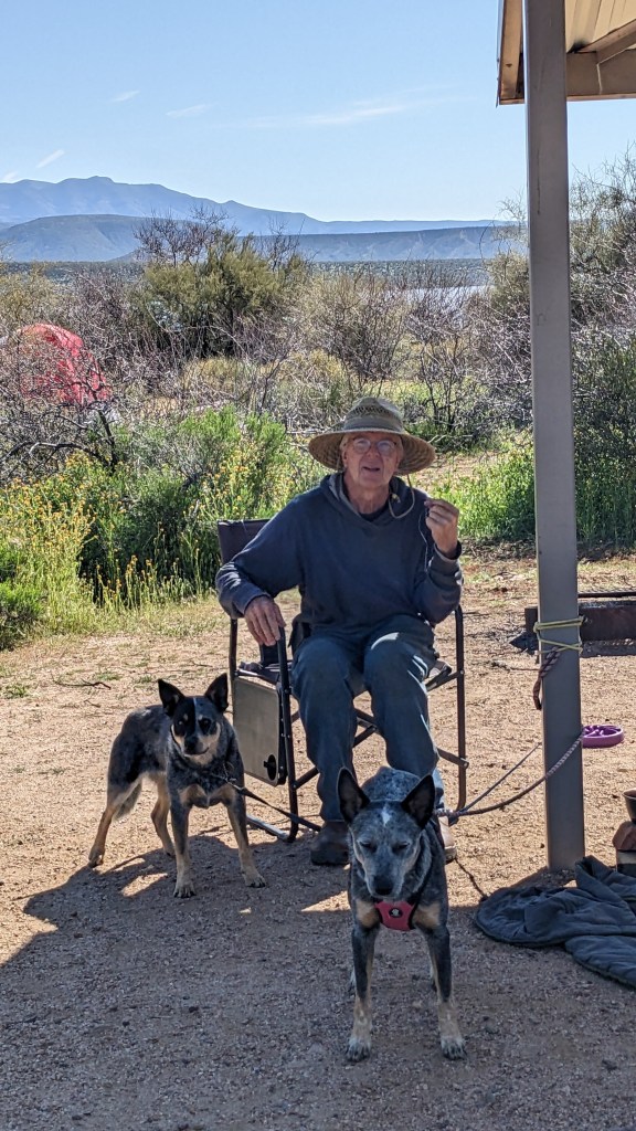
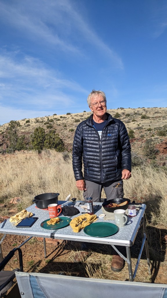
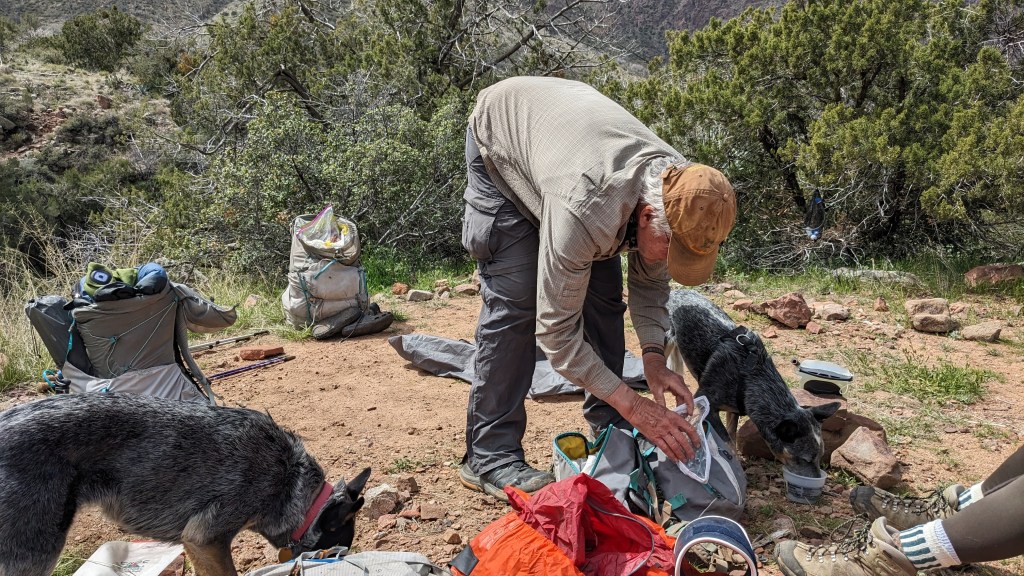
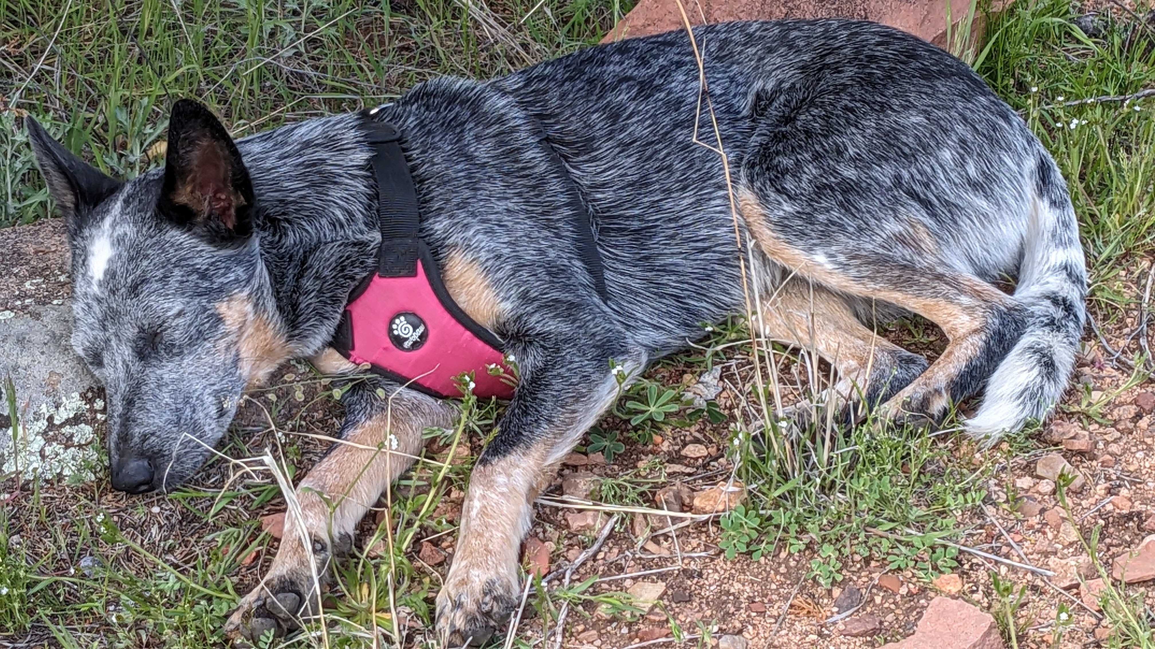
As most people know, I love backpacking, and was pleased that I didn’t have any problem carrying 30 pounds (including water) up and down these challenging mountains. All our gear worked. There were light freezes at night, but the days hit the upper 60s. In the end, it was Zane Gray who struggled the most: the hard hike seemed to re-injure his neck sprain, so we turned back early.

Zane resting with his neck brace off: he was BEAT!
At the trailhead about to head up the mountain.
Sunset over the mountains

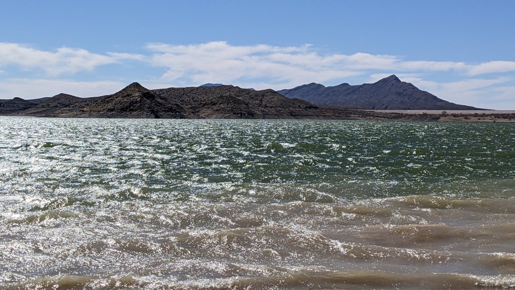
We visited the Tonto National Monument Cliff Dwellings, which involved about a 1 mile climb up a nice walkway, and a small but lovely ruins complex. Roosevelt Lake is in the background in the picture. I’d like to return for the guided hike up to the larger ruins…maybe next trip.

Saguaro

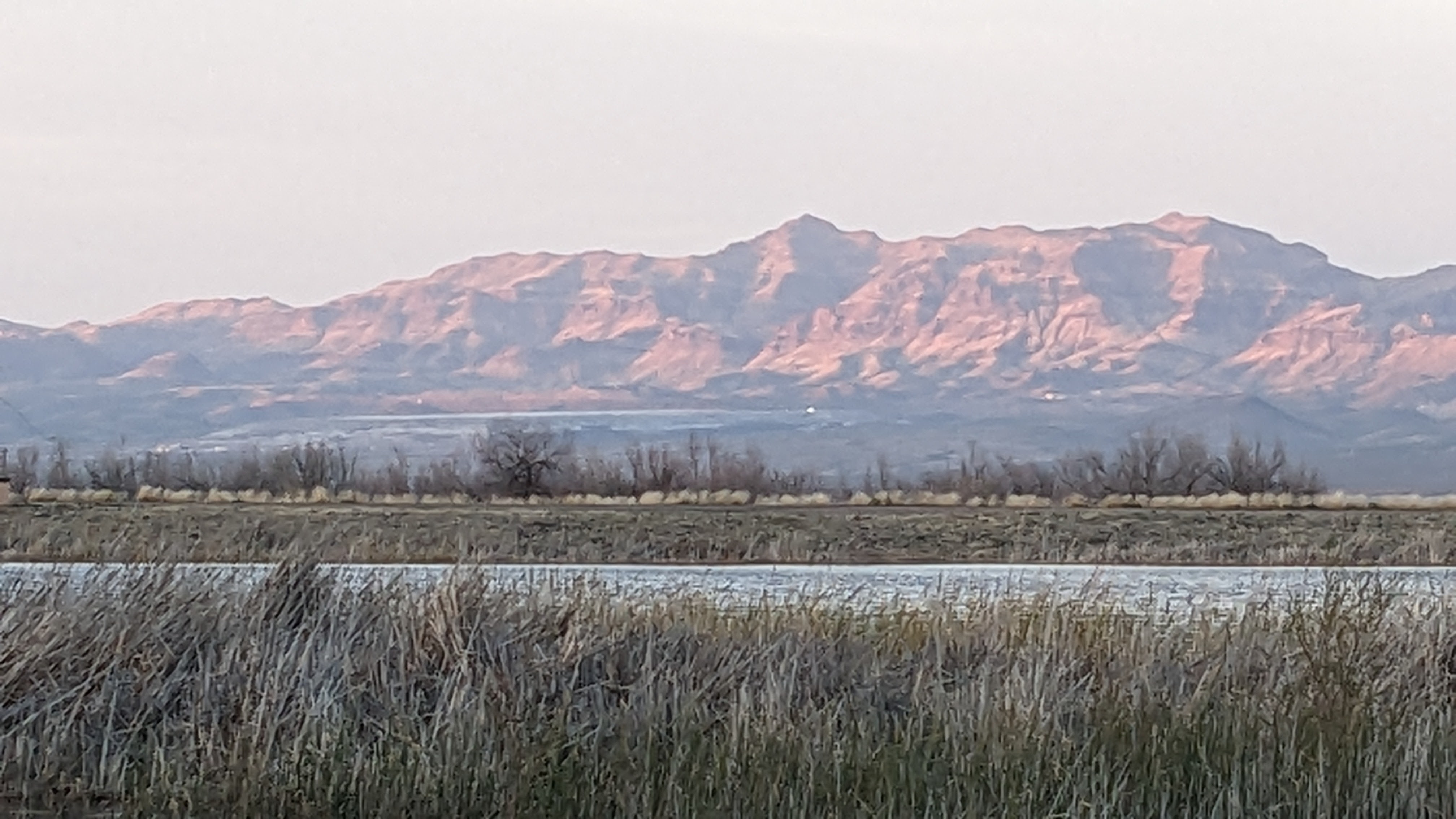
We’ve been staying at the Chollo Campground here at the lake, rather than boondocking, since there’s been lots of very strong winds ( 70mph gusts) up on the cliffs where we were camping earlier. Also, both Tonto Creek and the Salt River which feed this reservoir are in full flood stage, and some bridges and roads are impassable. It hasn’t been this wet in something like 15 years. Many of the routes we had considered for backpacking were too muddy, washed out, flooding or inaccessible by car right now. It was a puzzle figuring out where we could safely travel.

Our plans have changed. Alan’s mom is in the hospital, so we are headed to Denver tomorrow, instead of to Texas. We’ll camp at a big campground at one of the reservoirs there. I’ll write again from the big city.

Breakfast at Vida e Caffe in Globe, AZ

Sojourn: Days 7-16: March 15th, the Ides

We left the Gila Wilderness on March 7, and drove the twisty, narrow mountain road down into Silver City. I don’t recommend trying this with anything larger than Pippin! After doing the usual chores (groceries, gas, propane), we stopped at what must be one of the coolest coffeeshops anywhere, Tranquilbuzz Coffee House, for a scrumptious latte and snack. I highly recommend stopping by and checking out the great art and musical instruments. I saw a 4-string Gibson guitar I covet! I had one just like it that burned up in our house fire in 1979.

Tranquilbuzz Coffee House

After a quick stop overnight at Roper Lake State Park near Safford, AZ, which was a nice enough campground, but had an overwhelming stench of sewage wafting from the lagoon, Alan and I drove northwest toward our next stop at Roosevelt Lake. Having been here several times over the years, we had a favorite campsite in mind, and found it empty. It is high above the lake on a bluff, surrounded by 500′ cliffs and awesome views. We’ve been here ever since.

Setting up camp
View of heavy fog over the lake
Mazatzal Mountains above Tonto Basin, across from our camp (taken from the lake)

We’ve been spending our time hiking most days, trying to get into better shape. Tonto Basin is a huge area, with numerous Wilderness areas, and a couple dozen trailheads. Some, such as in the Ancho Sierra Wilderness, still have 3′ feet of snow. We got turned back by deep snow (for our second time in 5 years) trying to reach Abbey’s Way, a trail Edward Abbey made when he was working at the nearby fire tower. Others, like the Jug Trail into Salome Wilderness, are warm and green. The Hells Hole Trail was stunning and little traveled. The wet weather has brought on a superbloom of poppies, and whole hillsides are covered in orange.

Poppies in bloom
Desert hike into Salome Wilderness

We took one day to drive up to Payson to get groceries and talk to the rangers there about hiking the Highline Trail. March is usually the best time to backpack this 55 mile iconic National Scenic Trail, but this year’s unusual wet weather has turned much of it into a mud-fest and the small creek crossings into raging torrents. We hope to do at least part of the trail next week, but are watching the weather closely. (It’s raining right now). Tonto Creek, which flows into Roosevelt Lake from the north up on the Mogollon Rim, has been in flood stage for weeks. There are many residents who live in a small camper/mobile home community called Punkin Center on the far side of the river who have been unable to cross it (there is no bridge, but 3 wide fords that are usually passable).

The river that flows into the lake from the south is the Salt River, and it is also flooding, making it possible for rafters to put in (which doesn’t happen every year, apparently). The lake leaves through the Roosevelt Dam, which, as dams go, is quite lovely. https://www.usbr.gov/projects/index.php?id=242

Our hikes this week have had the purpose of adding mileage and weight to our packs. Our personal best has been 8 miles with 20+#. Not quite a full pack, but getting there. We went up the Tule Trail into the Superstition Wilderness, across a huge, deep arroyo with cows, and climbing up under some castle-like peaks.

Tule Trail
On the Tule Trail
Peaks in the Superstition Mountains
Zane, wearing his neck brace, loves the hikes.

Another hike was up on the Arizona Trail off of Mills Ridge. It is a steep climb with amazing views.

Arizona TRailhead at Mills Ridge
Arizona Trail on Mills Ridge
Above Mills Ridge: Alan is pinching our truck The lake is in the background

But we also love to spend time relaxing in camp. Pippin has been wonderful: warm and comfortable, even in the rain. The views from up here are amazing, and Alan has been cooking some five-star meals. We spend time writing, poring over maps, eating, sleeping, and, at night, watching movies on the laptop with Starlink.

Rusty Doing what Rusty loves

Sojourn: days 2-6. Mar 5, 2023.

West Lakeshore Trail

We spent a few days at Elephant Butte, camped inside of the State Park in 2 lovely campgrounds (Lion’s Beach and S. Monticello). The facilities are very nice, but we get a bit tired of having the dogs on a leash all the time. We spent each day taking long hikes, increasing both our distances and the weight in our packs in preparation of backpacking. There is a wonderful trail that goes along the lake for 11 1/2 miles, and, once the high winds died down (finally!), we took several nice hikes along the trail. I am impressed by the amount of work someone has done to create and maintain it. In 3 days we saw only 2 other people on it, although all the campgrounds were full.

We left Elephant Butte on Saturday, Mar 4th, had a marvelous breakfast at Passion Pie Bakery in T or C. Crepes to die for, even gluten-free ones! Put it on your list.

Yum!

After breakfast, we headed west toward Silver City, taking a scenic route called The Trail of the Mountain Spirits. https://www.newmexico.org/places-to-visit/scenic-byways/trail-of-the-mountain-spirits/

It took several hours to go from Hillsboro to Silver City: a very twisty mountain road, but well maintained. There was quite a bit of snow on the hills, which a local told me was unusual.

The Trail of Mountain Spirits: from Truth or Consequences to Silver City
Recent snow (apparently unusual) in the Black Range of the Gila Mountains

Once in Silver City, which, if you haven’t been there, is much like Durango, just more Southwest in style, we bought groceries at the local co-op, then headed north toward Gila Cliff Dwellings Nat’l Monument. Unfortunately, the only camping up there was snowy and muddy and cold, so we turned around and headed to another, lower area north of Mimbres, NM. You have to go through Hanover, home of large, active open pit copper mines. But the Mimbres valley is stunning, and we climbed up to our current remote campsite at Comfort Well.

We are finally “off-grid”, relying on Pippin’s solar panels for power. Starlink is working great, but takes a lot of power, so Alan hauled out the generator, which we will likely turn on this evening for a bit to charge the batteries.

Otherwise, Pippin has been perfect: we are sleeping like logs inside, with the dogs, (those who have seen Pippin know how close we all are!) and are staying warm even in 25 degree weather at night.

Setting up camp at Comfort Well Dispersed Camping Area: North of Mimbres

Today, we took a 5.5 mile hike on small ATV trails in this BLM area. It crossed a lovely creek, and meandered through a Ponderosa and Chaparral forest. Interestingly, we crossed the Continental Divide Trail (CDT). Tomorrow, I think we will try an 8-miler on that.

Hike near Sapilla Camp